{"cpt":"service","style":"2","columns":"3","show":3,"order":"DESC","orderby":"DESC"}

What we do!

Actionable Spatial Intelligence & High-Precision UAV Services.

We deliver high-resolution spatial analytics, aerial mapping, and thermal inspections across East Africa. Utilizing RTK/PPK-enabled drone fleets and advanced sensor payloads, Geo Flight Innovations converts raw aerial data into precise 3D terrain models, infrastructure audit reports, and crop health metrics.

RTK/PPK Centimeter Accuracy

Rapid Deployment & Data Processing

KCAA Certified & Fully Compliant

Multi-Sensor Payload Fleet

Our Process

4 Simple Steps to Launch Your Aerial Survey
Flight Planning & Scope
Flight Planning & Scope

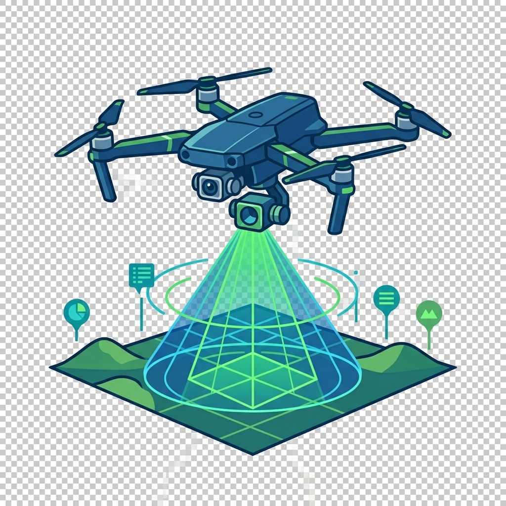
We define mission parameters, target coordinates, and security requirements to tailor the flight plan to your project goals.
On-Site Data Acquisition

On-Site Data Acquisition

Certified UAV pilots deploy RTK/PPK-enabled drone fleets to capture high-resolution thermal, LiDAR, or RGB spatial data.
Advanced Data Processing

Advanced Data Processing

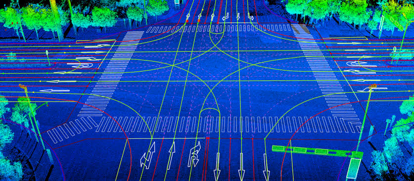
We transform raw aerial imagery into high-precision 3D point clouds, orthomosaic maps, and geospatial analytics.
High Quality  Service

High Quality Service

Access your complete GIS-compatible reports, terrain models, and crop/asset health diagnostics through secure digital delivery.

Lorem ipsum dolor sit amet, consectetur adipiscing elit. Accept

What We Do

OUR SERVICES

By integrating state-of-the-art UAV tech with advanced geospatial analytics, we empower your organization to make data-driven decisions faster and safer. Whether you are managing complex infrastructure projects, conducting large-scale land surveys, or monitoring critical industrial assets, our tailored aerial intelligence solutions eliminate guesswork, reduce operational downtime, and minimize field risks for your teams.
{"cpt":"service","style":"1","columns":"2","show":"6","order":"DESC","orderby":"DESC"}

Our Services

Industrial UAV Solutions & Spatial Mapping
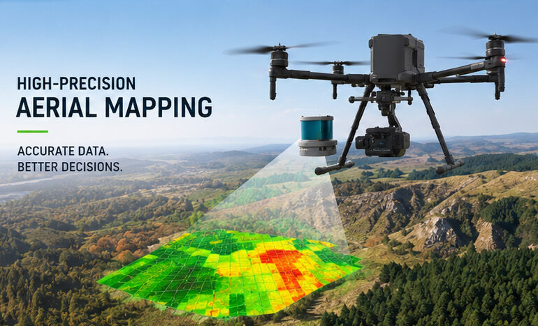
Aeriel Drone Mapping

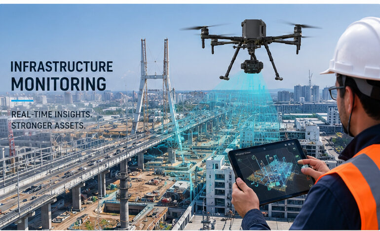
We deploy high-precision GNSS, total stations, and geotechnical sensors to detect even millimeter-level shifts in dams, bridges, tunnels, and high-rise foundations, ensuring structural integrity and public safety.
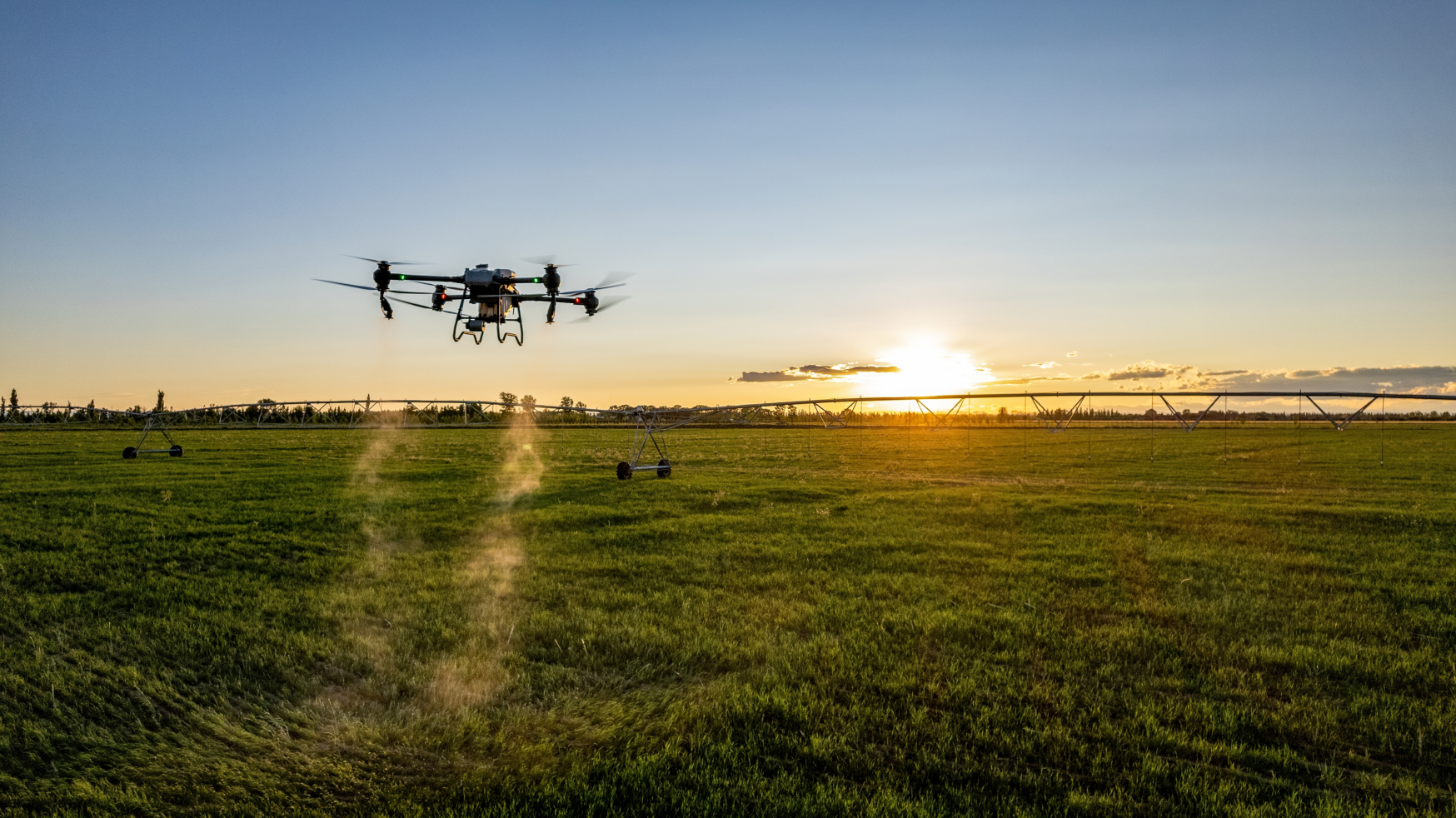
Smart Precision Agriculture

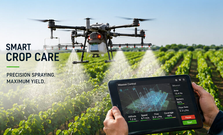
We deploy multi-spectral drone payloads and thermal imaging to generate high-resolution NDVI vegetation maps, detecting crop stress, soil moisture deficits, and nutrient deficiencies early to maximize yield efficiency.
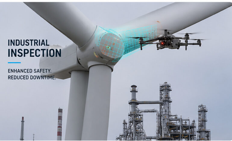
Industrial Inspection

Use advanced drone technology to inspect critical infrastructure without putting people at unnecessary risk. Capture high-resolution visual, thermal and spatial data to identify defects, monitor asset condition and support faster maintenance decisions.

1582 +

Surveys & Mappings

650 m

Mapped Distance

562 +

Inspected Assets

282 +

Completed Projects

Home